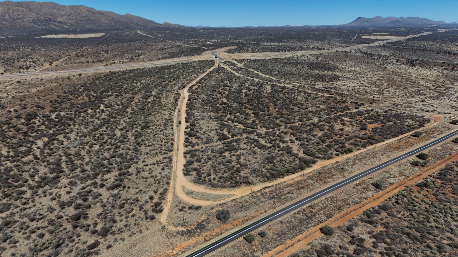
Windhoek's eastern gateway.
Portion 124, Farm Ondekaremba No. 78, Khomas Region — on Windhoek's eastern airport corridor, bordered by the B6 to the north and the A1 to the south, with Hosea Kutako International Airport close by and a direct corridor into the city.
Between two highways. Between city and airport.
The site sits squarely on the corridor Windhoek is growing into — the B6 along its northern edge, the A1 along its south, the airport to the east and the city to the west.
B6 — northern boundary
The B6 runs along the township's entire northern edge, with a series of controlled access gates planned along the frontage.
Hosea Kutako Int'l Airport
The international airport sits close by to the east — this corridor is Windhoek's next growth frontier, and Amushelelo is on it. We are not publishing drive times yet, because the entrance and route arrangements are still being confirmed.
A1 — southern gateway
The A1 forms the southern edge, with one principal gateway off-ramp planned as the township's main southern entrance — and a direct corridor into Windhoek.
The eastern corridor is where Windhoek is heading next.
As the city grows toward the airport corridor, this land sits at the intersection of affordability and access — close enough to the city and the airport to matter, with enough space to plan a real community rather than another crowded infill development.
The land is surveyed and anchored to the title deed: Portion 124, Farm Ondekaremba No. 78 in the Khomas Region, with the B6 along the northern boundary, the A1 along the south, and the airport to the east. That regional orientation — plotted against the SG diagram, not sketched on a napkin — is what gives every erf a clear, verifiable place in the plan.
This land exists. Here's the drone footage.
Access roads meeting the A1 at the site's southern edge
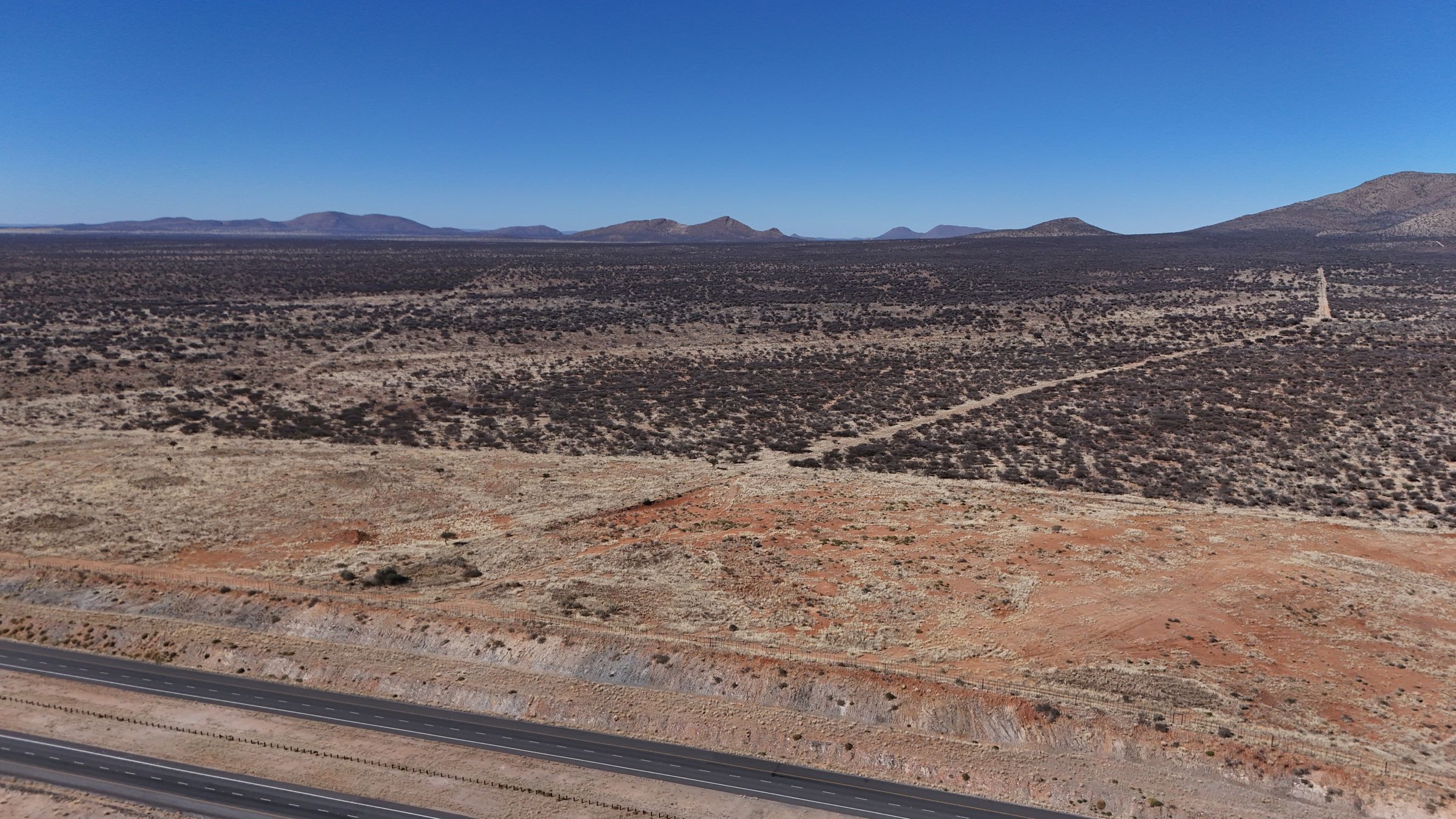 Looking across the site on the airport corridor
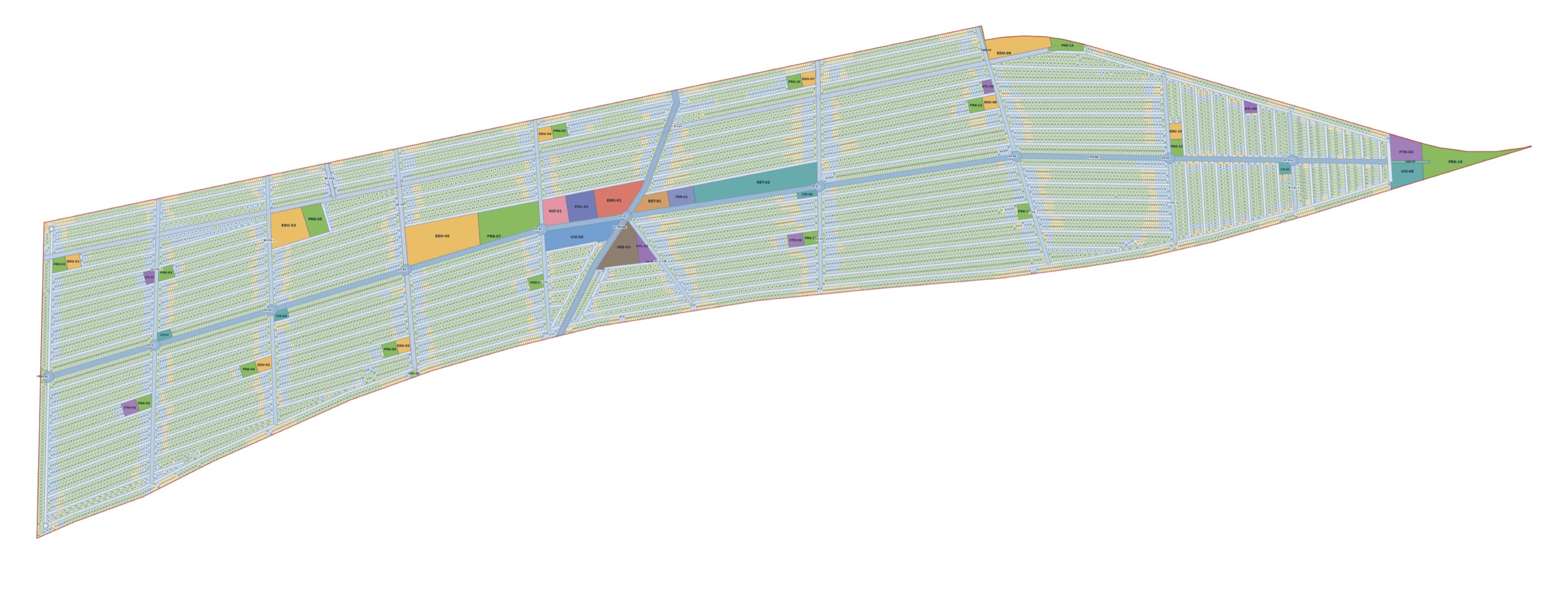
Explore the concept master plan.
Pan, zoom and search 10,528 concept homesites. Inspect categories, approximate plan-derived areas and frontages, and the planned roads, parks, schools and facilities — so you can see what may surround a future homesite. Specific homesite selection is not open yet. Joining now reserves your preferred category and priority position for a future selection window.
Pending survey data
Concept master plan v6.4.3 — for review. Not a statutory approval, cadastral certificate, engineering design, valuation, sales schedule or building plan.
On the airport corridor. A lifetime of ownership.
Applications are now open through the online application portal. Existing priority positions remain secured.