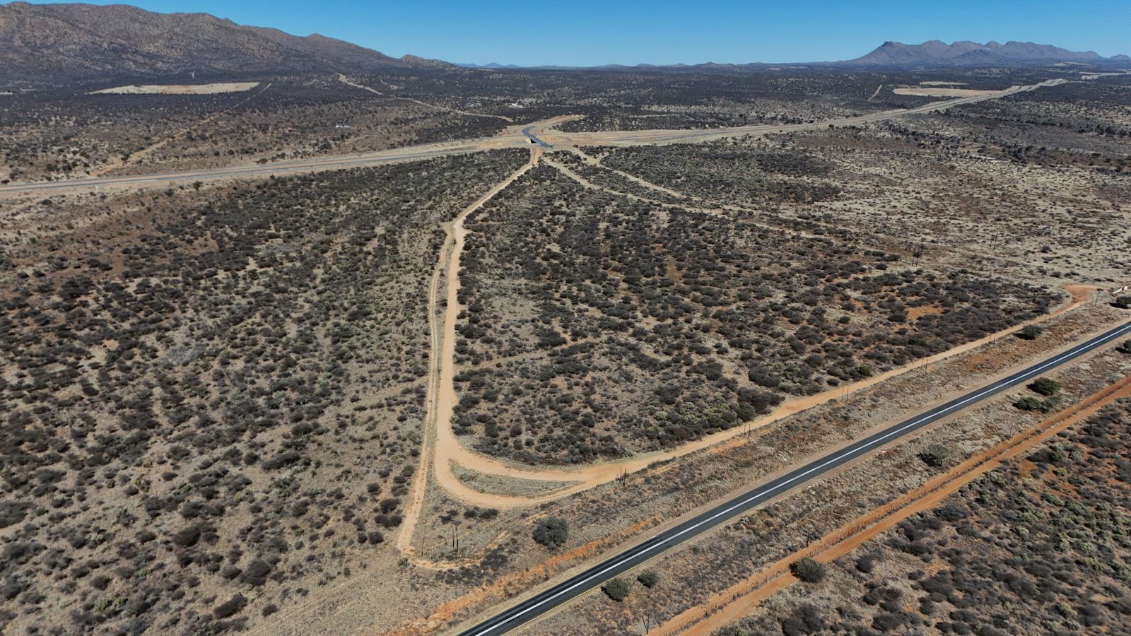
See the land. See the plan.
Real drone photography of the land as it is today, alongside the concept plans of the community it will become. Every image is clearly labelled — real photo or concept — so you always know what you're looking at.
The site beside the A1 — photographed, not imagined.
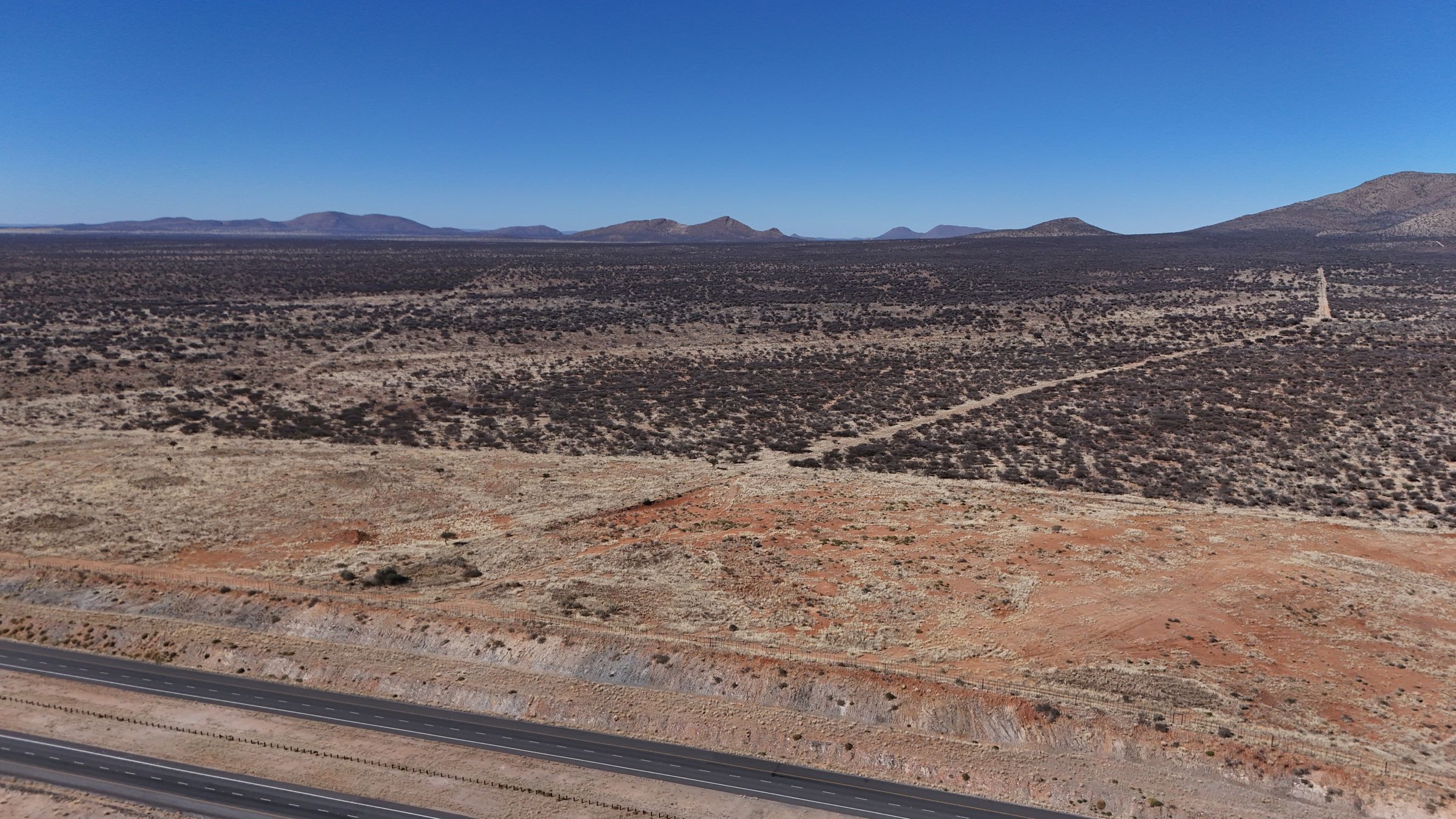 The land — drone photograph, July 2026
Access roads & the A1 — drone photograph
The land — drone photograph, July 2026
Access roads & the A1 — drone photograph
This is unbuilt, unserviced land today — that's the honest starting point, and it's what makes the pricing possible.
The plan for what this land becomes.
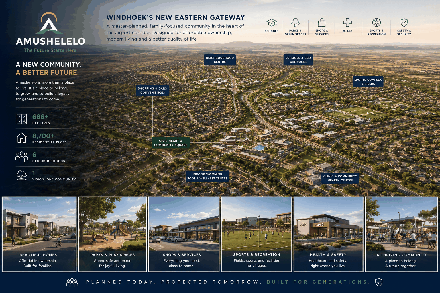 Master plan overview
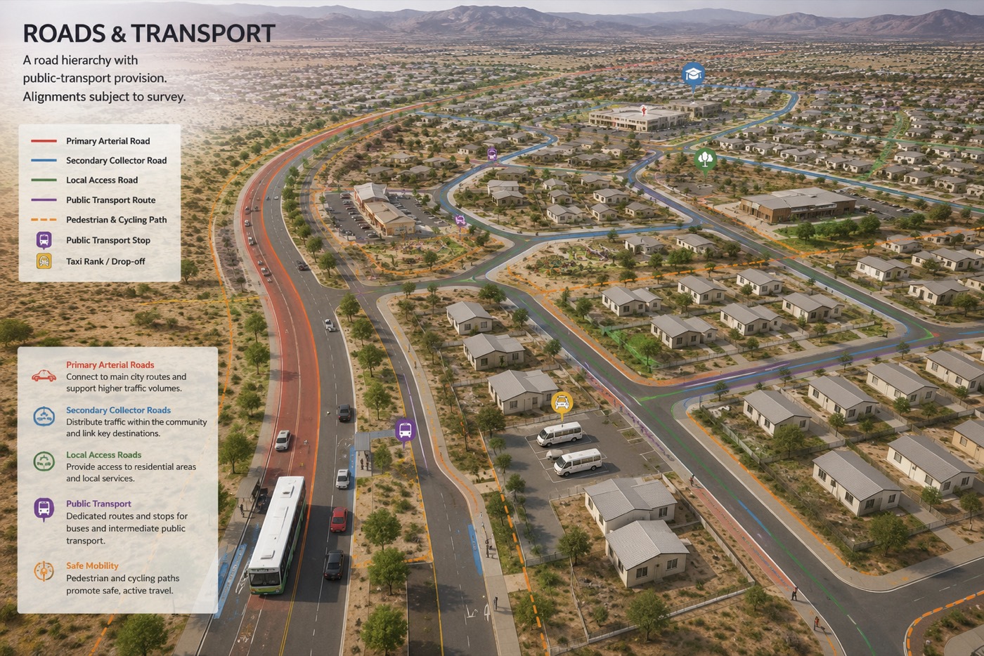 Roads and transport
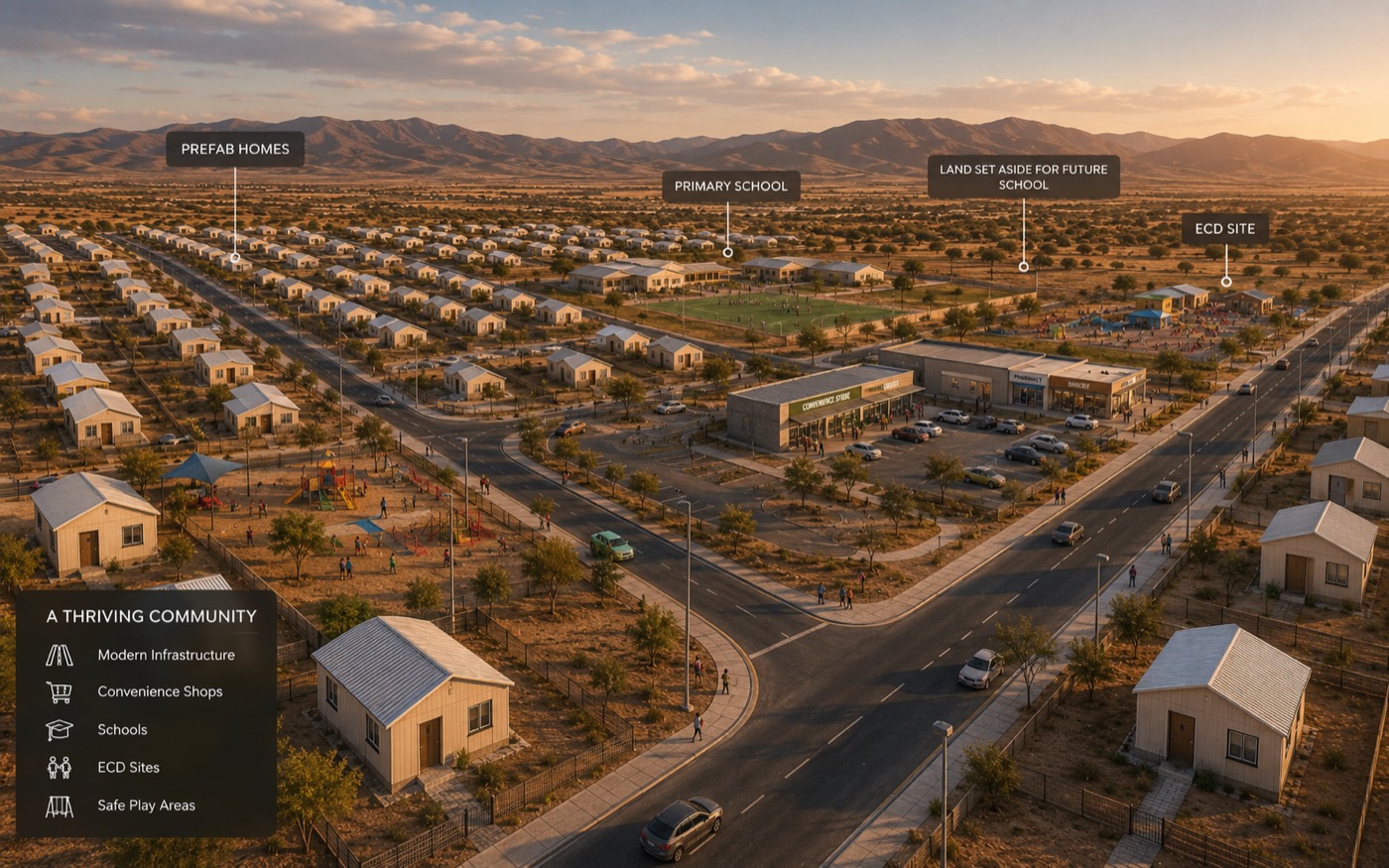 Schools and community
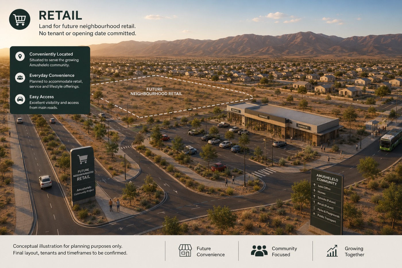 Neighbourhood retail
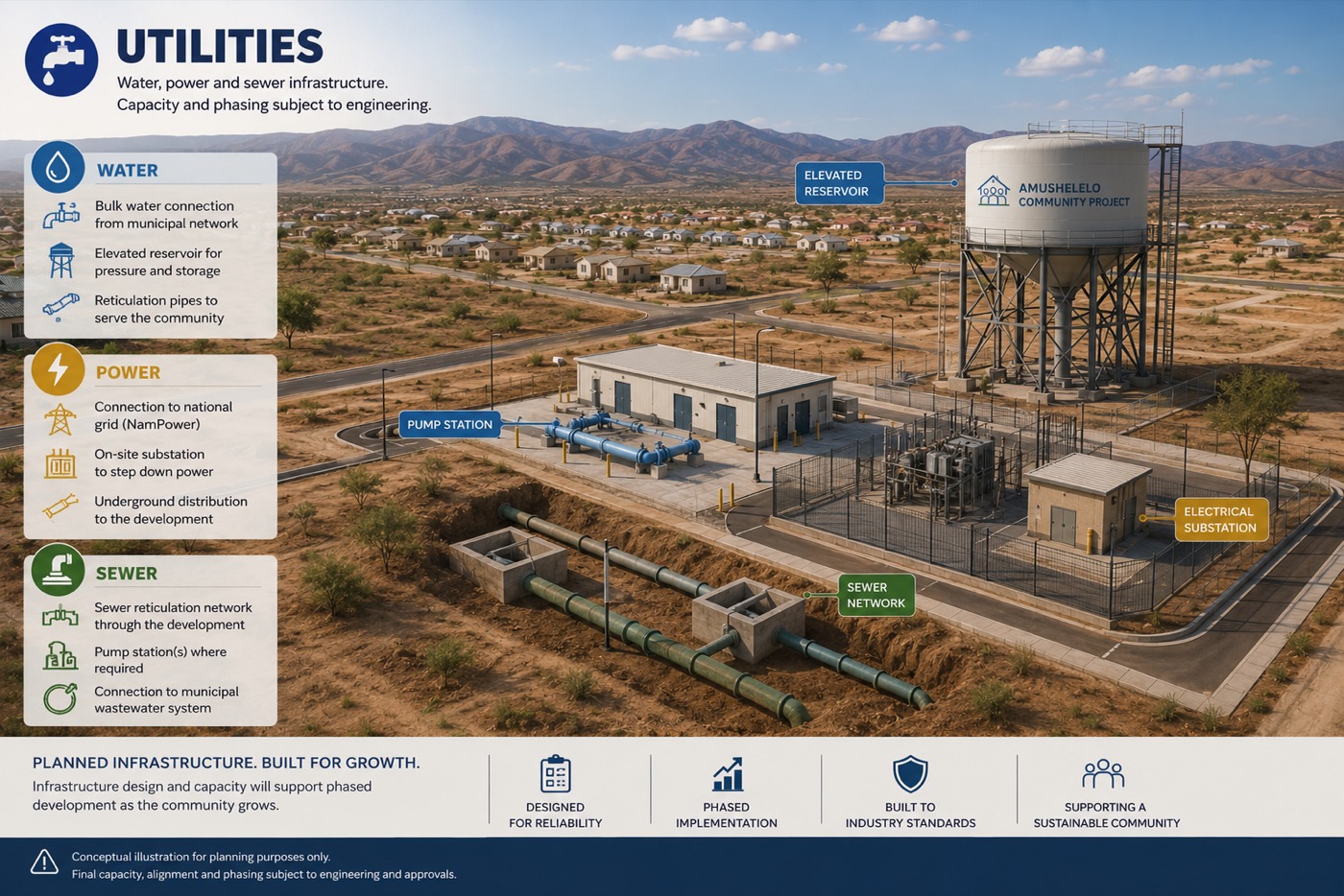 Water, power and sewer
The vision film — 1 minute 27 seconds. Includes concept visualisations: layouts, buildings and landscaping shown are illustrative and subject to change during detailed design and municipal approval.
Photoreal renders are coming soon.
This gallery grows as the project does — photoreal renders of the homes and streetscapes, plus site progress photography, will be added here in the run-up to launch.
Like what you see? Get on the list.
Applications are now open through the online application portal. Existing priority positions remain secured.